
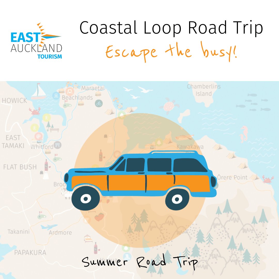
Escape the busy with a Road Trip around the East Auckland Coastal Loop.
Load the Coastal Loop Road Trip Google Map, jump in the car and expect to be charmed! Packed with activities, eateries, art, history, and cultural and scenic destinations, the East Auckland Coastal Loop can now be easily explored with an interactive Google Road Trip Map.
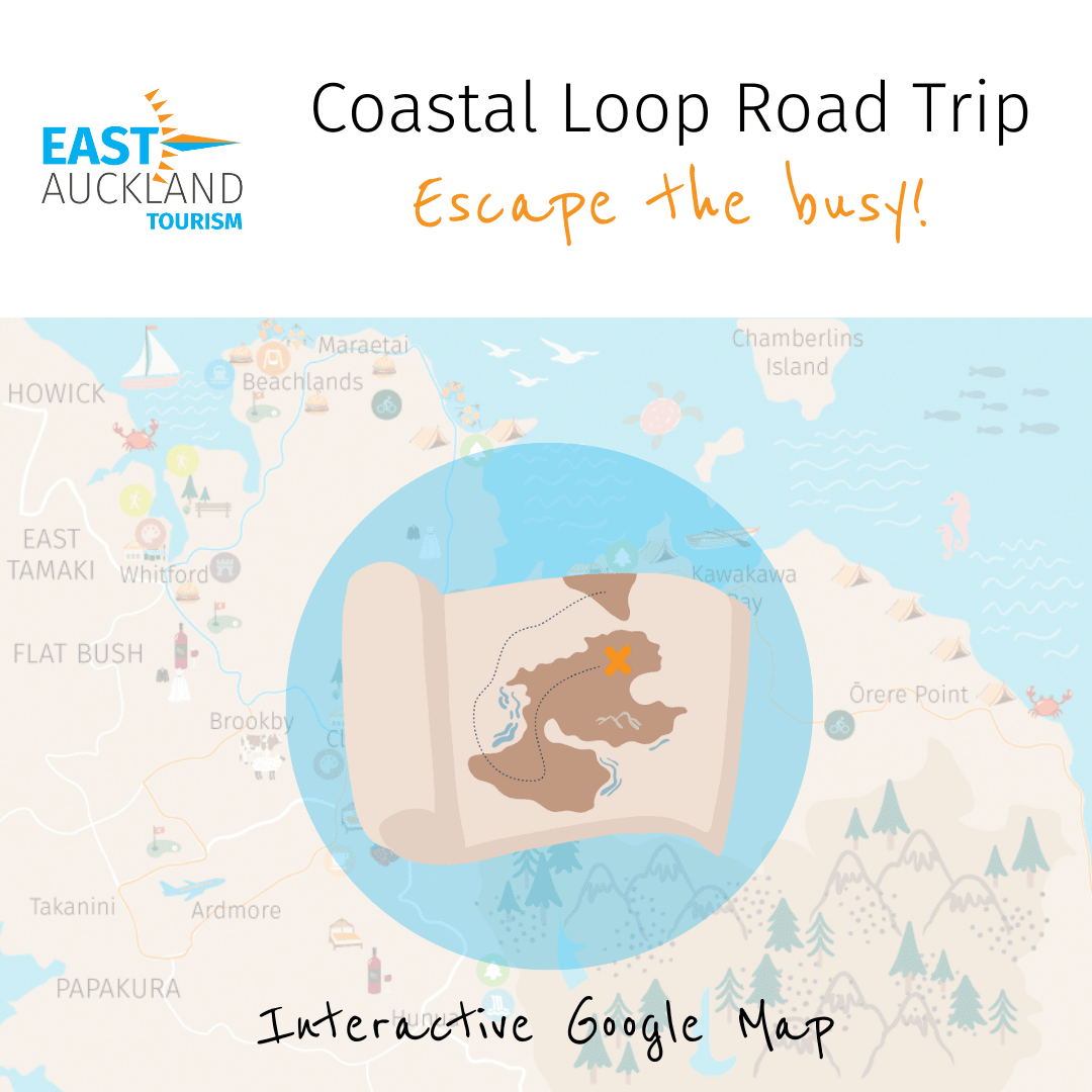
Open the interactive Google Map:
Coastal Loop Road Trip Map Google Map
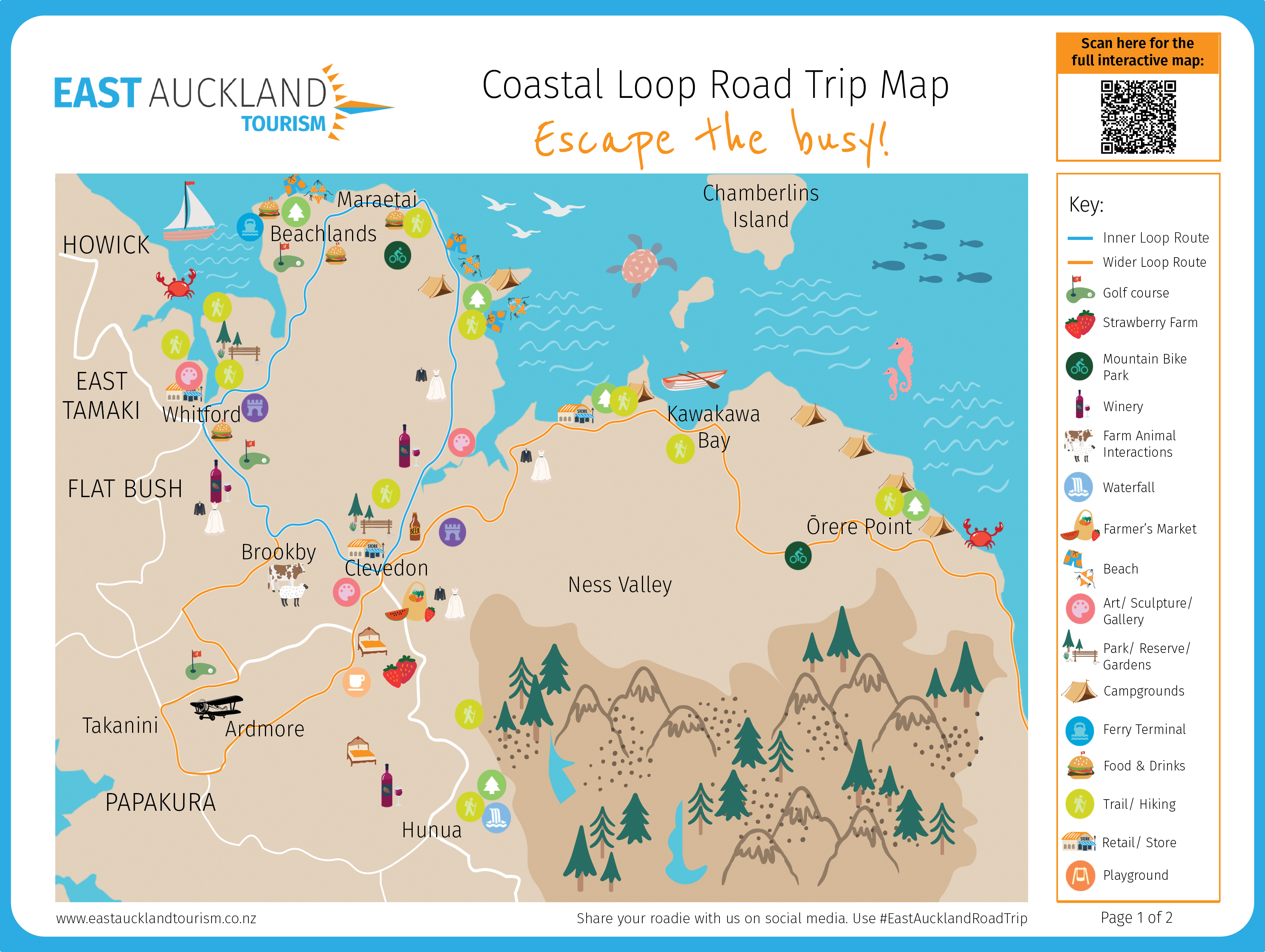
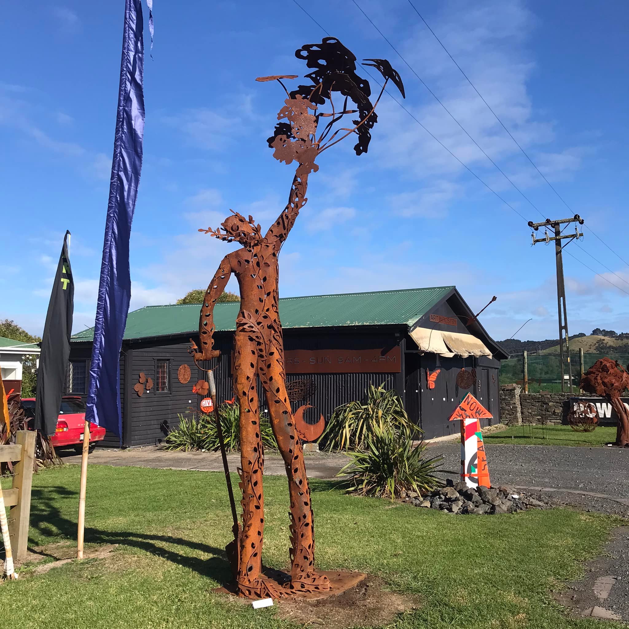
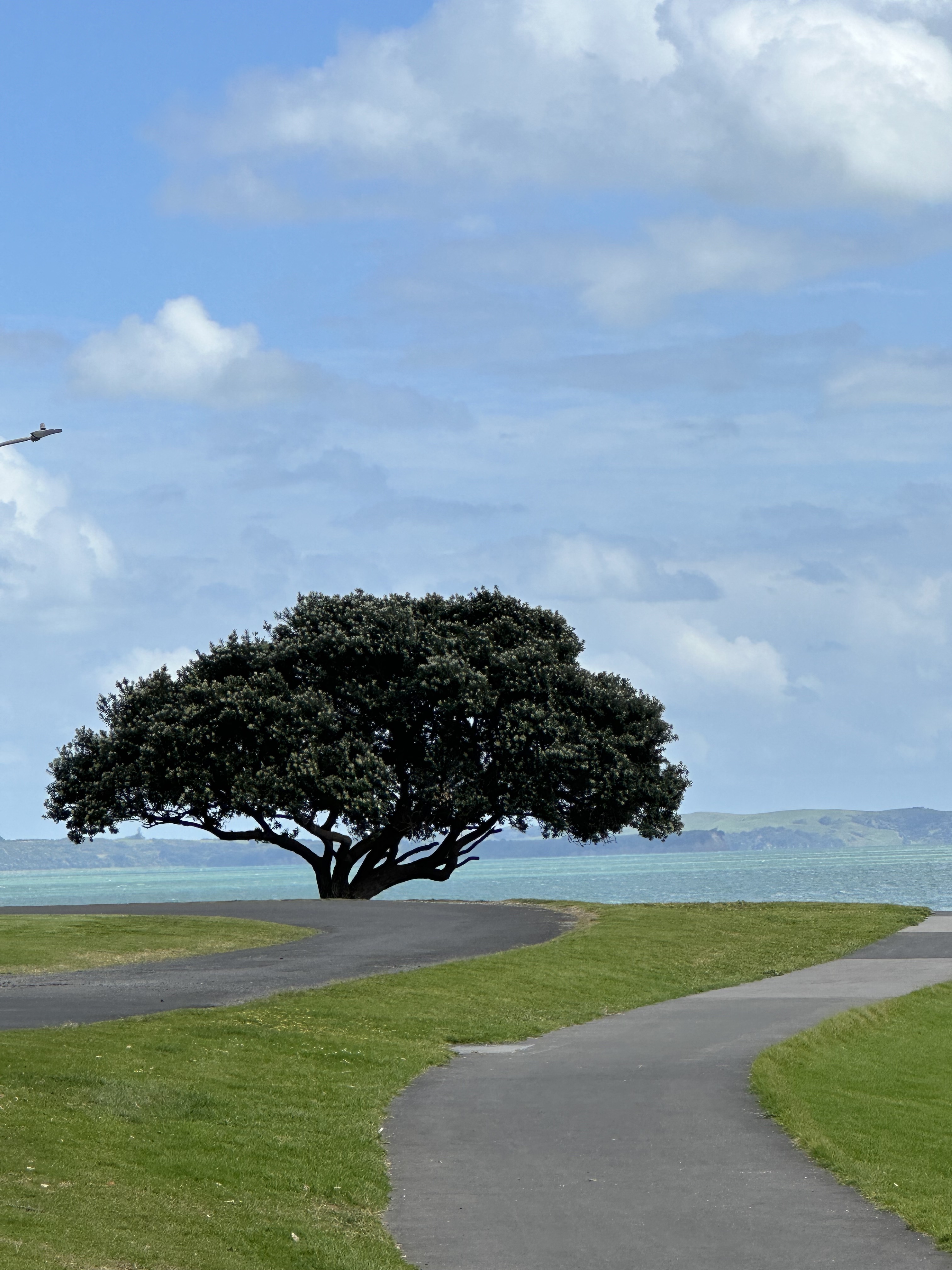
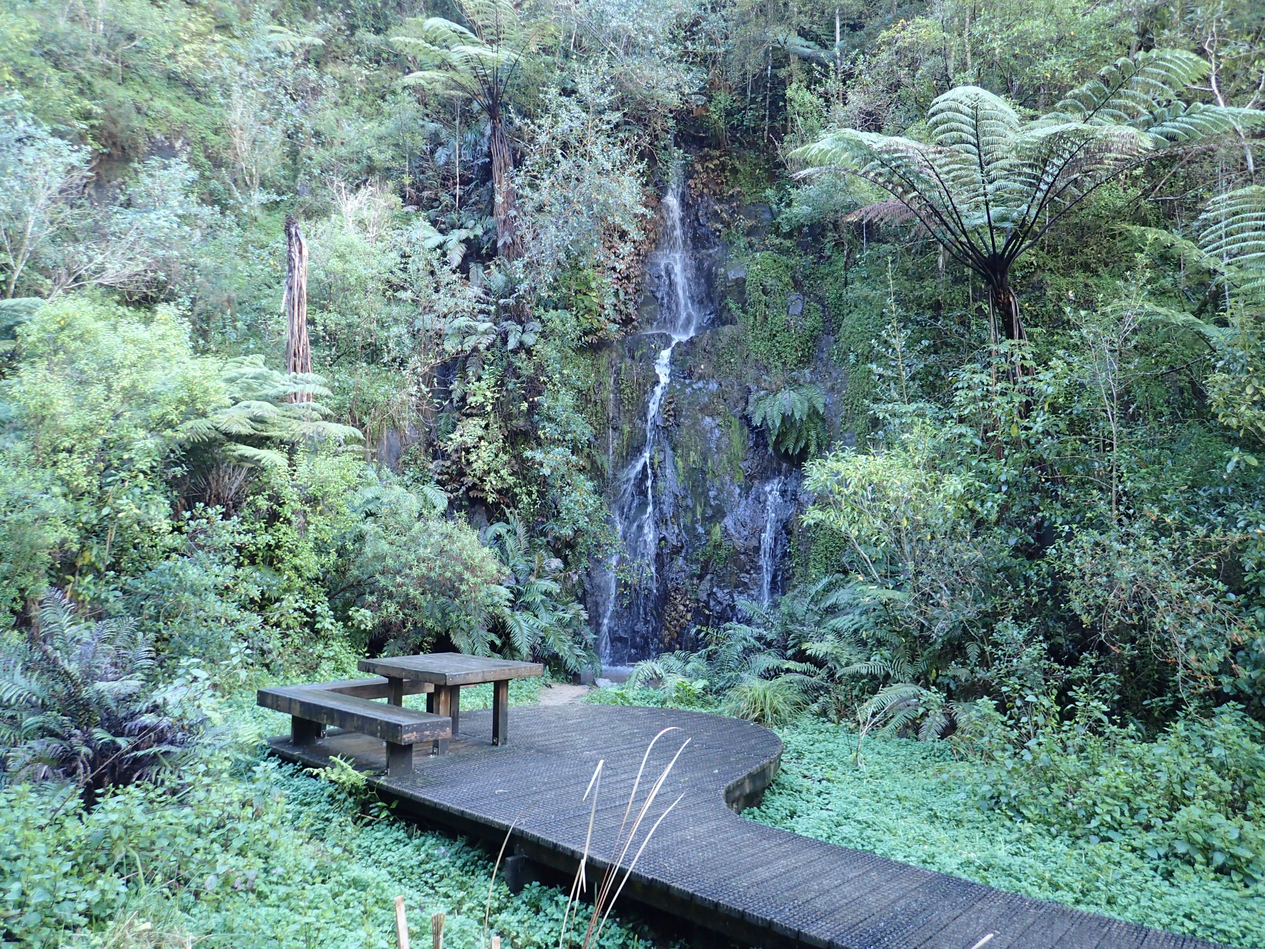
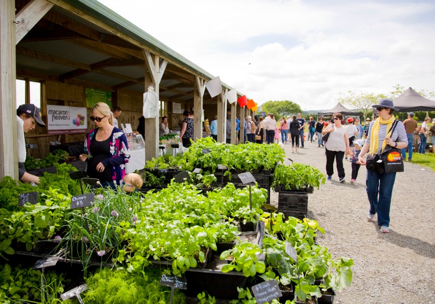
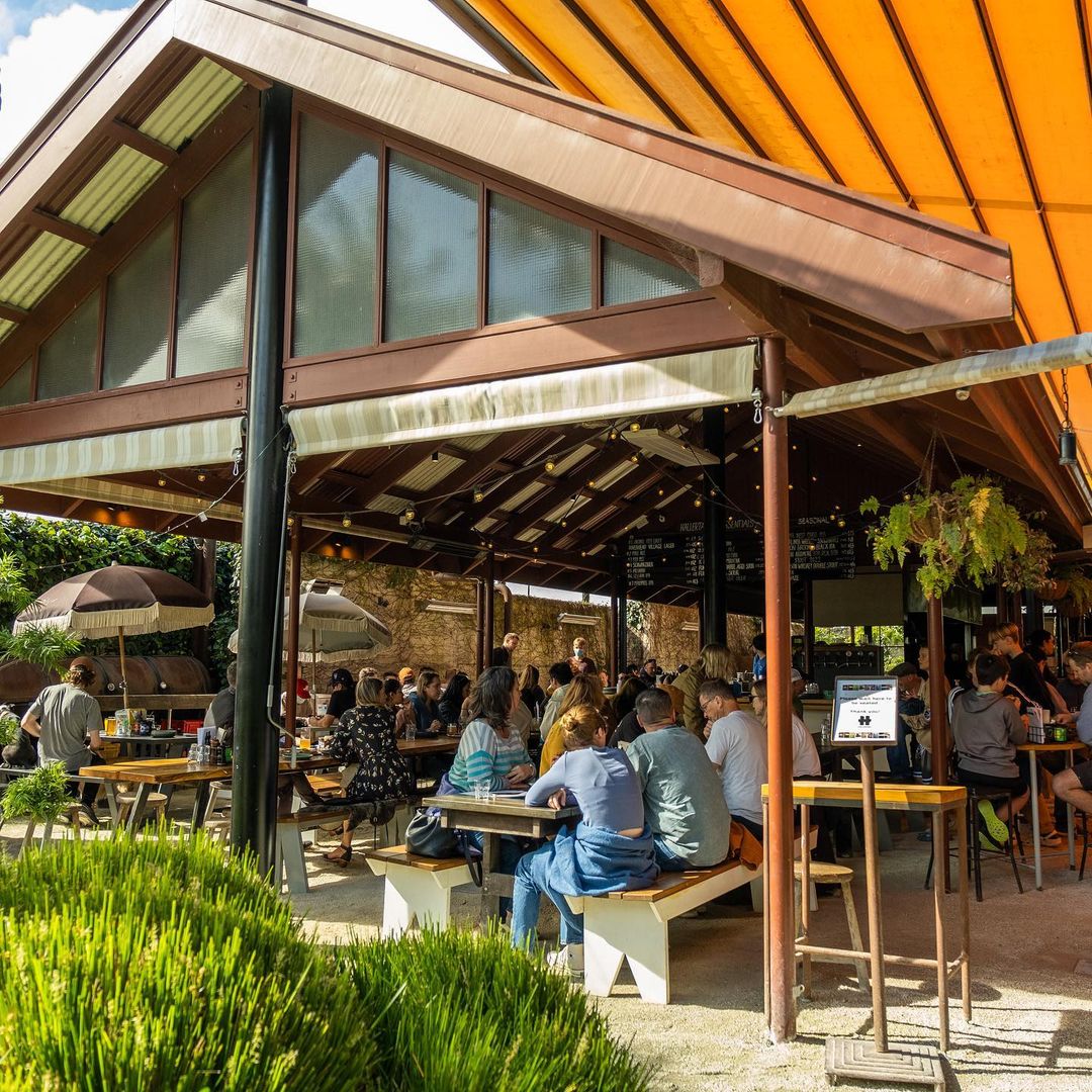
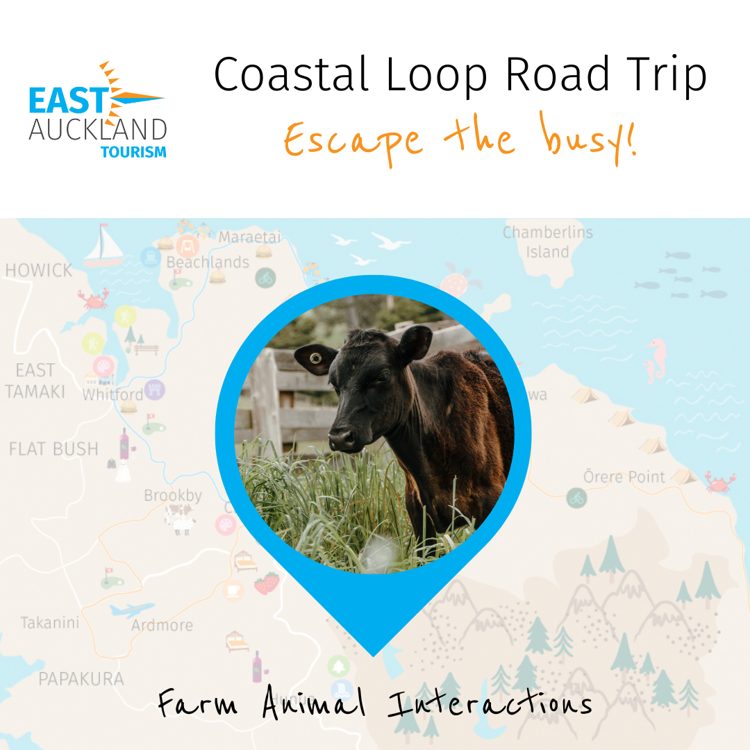
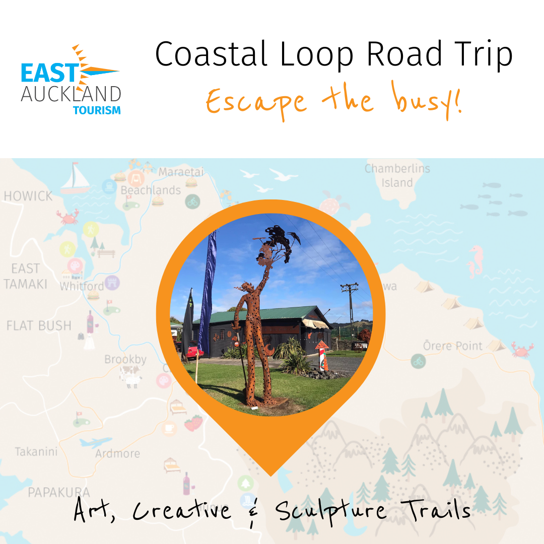
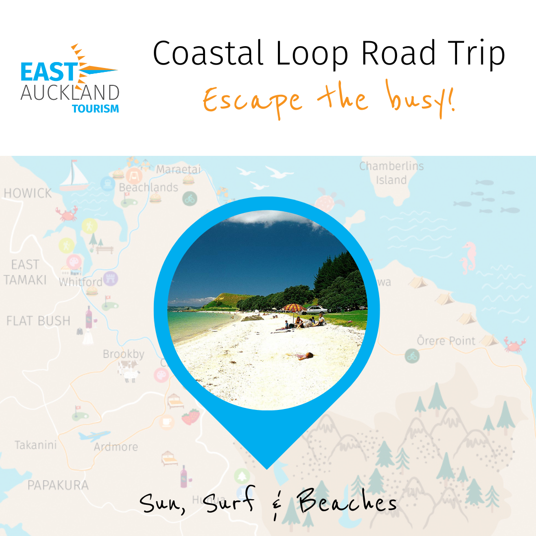
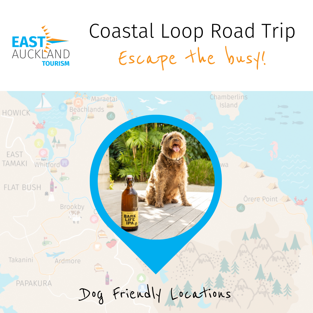
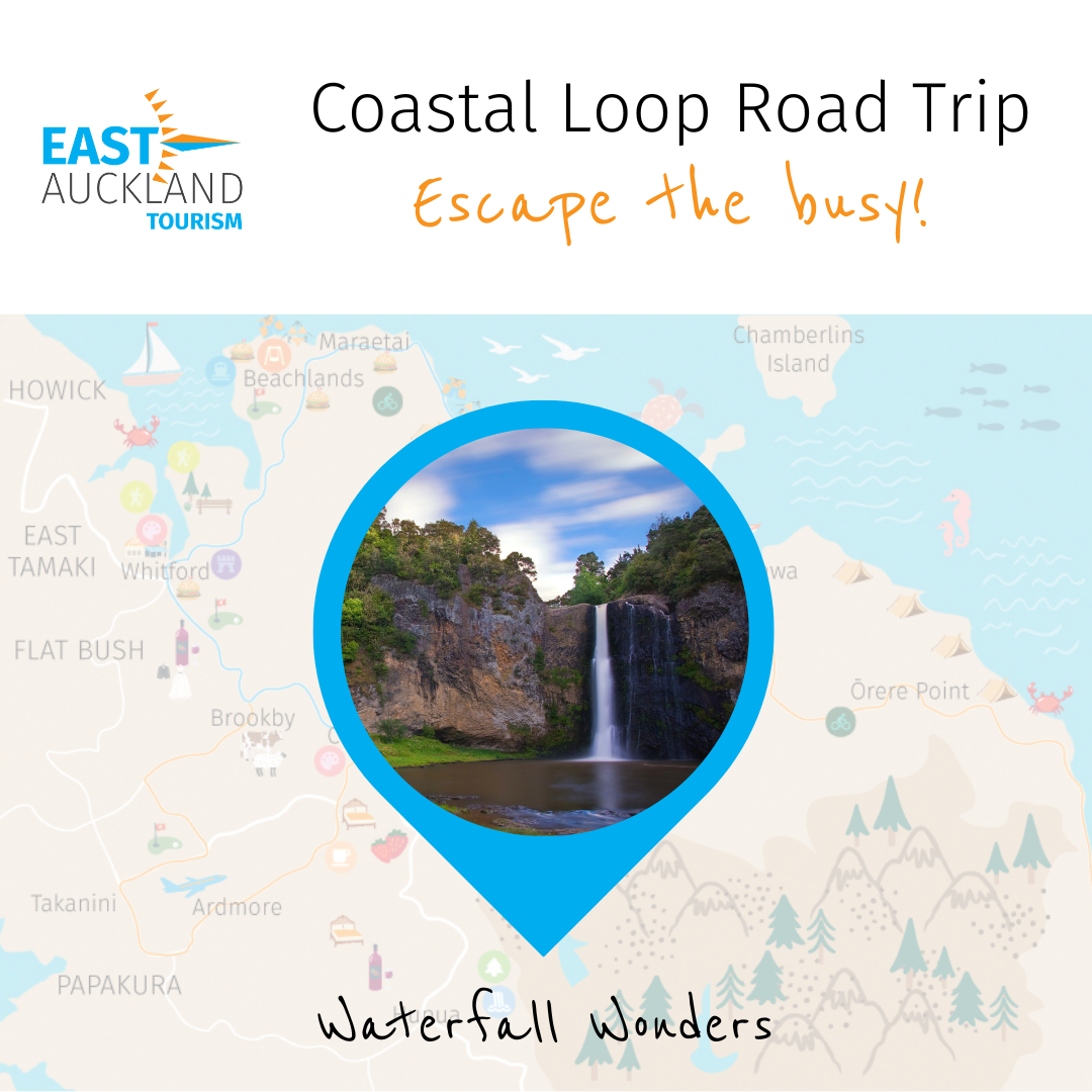
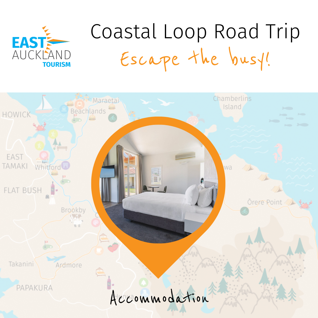
Food and retail, outdoor and adventure, arts, cultural and historically significant spots, family-friendly places, the winery route, and even accommodation options are listed on the map. The Road Trip includes an inner coastal loop from Whitford to Clevedon to Beachlands and a wider loop that stretches to Ardmore and Orere Point. Save this map to your Google Maps, it contains a treasure trove of interesting locations, just waiting to be explored.
Open and save the map, tick the layers you would like to see and jump in the car for an epic road trip.
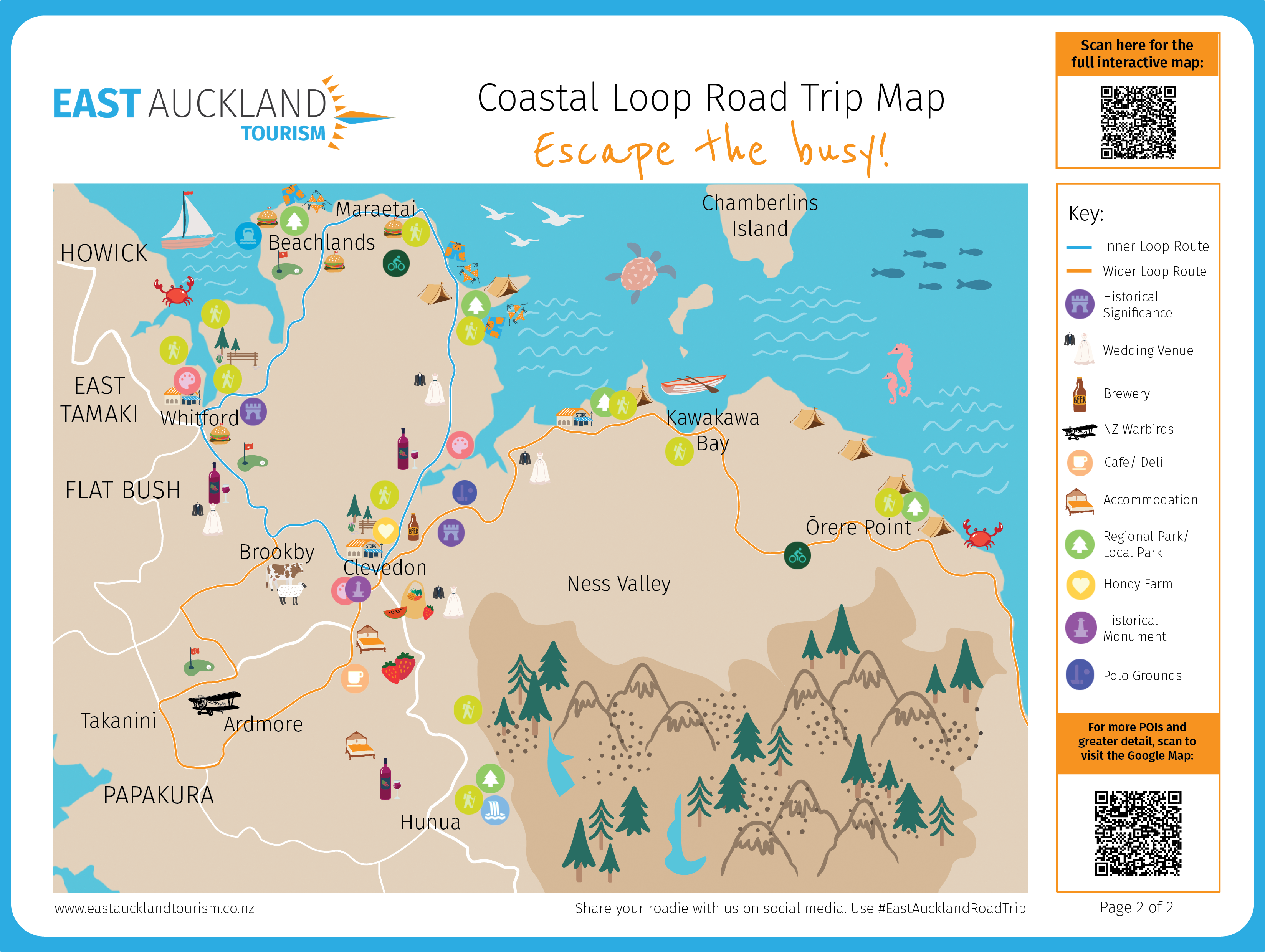

The East Auckland Coastal Loop Road Trip Map with interactive Google Map is brand new and a first of its kind in the Auckland Region. Share your roadie explorations with us by tagging our East Auckland Facebook and Instagram pages and adding #EastAucklandRoadTrip. We can’t wait to see what you get up to on your roadie!
Ready To Explore More?
Check out the Howick Region Maps and Interactive Howick Map